Canadian Historical Maps & Prints

About the Canadian Historical Maps and Prints Collection
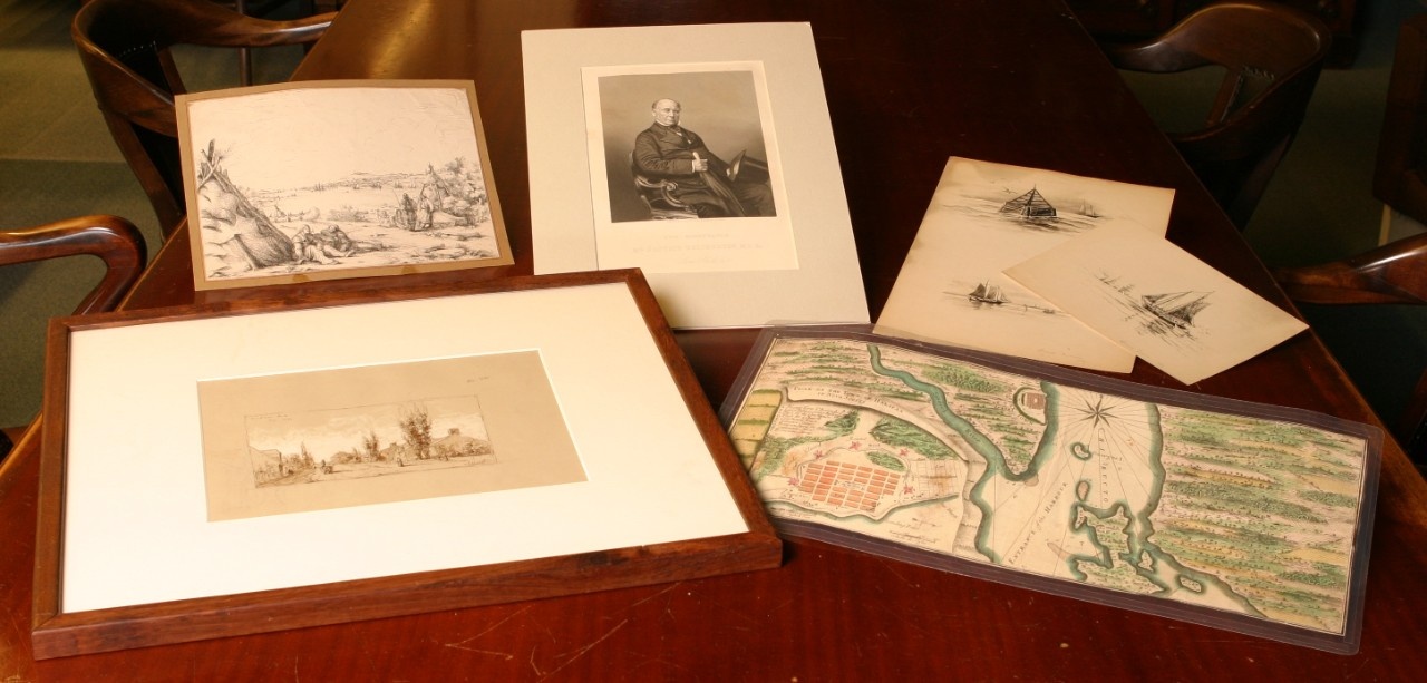
The collection has been developed gradually and with a focus on the exploration and depiction of Atlantic Canada prior to 1920. The collection consists of 202 maps, 227 DesBarres nautical charts, and 2,302 historical prints and sketches. The maps, dating from 1556 to 1910, present an overview of the exploration and development of the Eastern seaboard of North America. The prints and sketches in the collection present the pictorial history of Atlantic Canada primarily from 1790 to 1920. Approximately 1,500 engravings are from the illustrated periodicals of the nineteenth century – Illustrated London News, Canadian Illustrated News Harper’s and The Graphic.
Collection Highlights
Noteworthy among the maps are the first detailed maps of Canada drawn by G. Gastali dating from 1556; the famous 1715 “beaver map” of North America by Herman Moll; the detailed eighteenth century maps of French cartographer, Jacques-Nicolas Bellin and the English maps of Thomas Jefferys; the extraordinary maps of J.F. W. DesBarres for the Royal Navy and the early nineteenth century maps of Nova Scotia harbours by Lt. Pooley The most significant historical prints are the 1777 series of prints of Halifax by Richard Short; the 1819 Halifax engravings of J.E. Woolford; the Nova Scotia engravings of William Eager (1834); the prints of William Bartlett (1842) and the sketchbooks and separate sketches of Maritime scenes by J.E. Woolford ( 1818), Stephen Parrish (1881) and Reynolds Beal (1891) .
Significance
The Historical Map and Print Collection provides valuable documentation of significant events, people, and places during the formative years of Nova Scotia’s development. In some cases, extant images are the only record of important events and provide a valuable dimension to the understanding of Nova Scotia’s past.
More from Vessels of Light: A Guide to Special Collections in the Killam Library, by Karen E. M. Smith.
